Planning Services
Strategic Approach to Community Challenges
Enhancing and maintaining vital infrastructure for communities requires having people in your corner that can help secure funding, establish partnerships, and plan for the future. Our planning services range from large community development plans that establish municipal funding priorities to needs assessments and site evaluations for industrial, educational, and commercial clients.
No matter the project, ISG can help you navigate planning logistics and secure the necessary data and resources to bring your project from idea to reality.
Planning Services include:
- Development
- Engagement
- Funding
- Planning
- Project Evaluation
.webp)
Data-Driven Decision-Making
An ability to help clients set clear and quantifiable objectives is a cornerstone of our planning success. We approach each project as innovative and data-driven experts, setting specific goals and outlining the steps necessary to reach them.
Careful planning and data gathering allows us to provide solutions that are supported, based on consensus, and are realistic to implement— so that your community can build projects exactly when they are needed.
- Responsive Team
- Detailed Coordination
- Thorough Communication
- Measurable Outcomes
Learn more about our Applied Technology solutions and how they help ensure project success.
Planning Expertise


Project Portfolio


Business Units

Applied Tech in Action
.jpg)

Designer Placeholder item
Short description about the media. This needs to be limited to a specified maximum character limit so that the slider will function properly.
.jpg)
Designer Placeholder item
Short description about the media. This needs to be limited to a specified maximum character limit so that the slider will function properly.


Drone - Thermal Imaging
Our thermal drone technology enables real-time detection of heat on surfaces, streamlining inspection processes, reducing labor costs, and providing easily interpretable data for informed decision-making.

Visualization
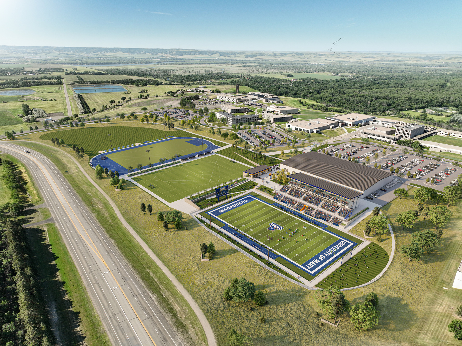
Harnessing the power of technology, computer-generated lifelike graphics developed by our talented team are a great way to tell the story that project stakeholders require to move from visualizing to acting.

360° Tours
Our fast-capture drone photography captures aerial, roof, or ground level imagery to create 360-degree tours that place future development plans in the context of existing spaces, helping you make better decisions faster.

LiDAR
Flexible for use on an unmanned aerial vehicle (UAV) or mobile platform, our advanced LiDAR system facilitates topographic mapping, volumetric analysis, slope stability, shadow analysis, and more.

HyDrone Boat
Our compact unmanned surface vehicle, HyDrone, paired with a portable echosounder facilitates accurate and safe hydrographic surveying even in wet or windy conditions.

Geographic Information System (GIS)
Using geographic information systems (GIS) integrated with Esri software, we develop valuable geospatial mapping tools that enable informed decision-making by incorporating demographic, psychographic, and socioeconomic data into visual representations.

Pipecrawler
Precise and non-invasive pipe crawling surveys ensure accurate identification and measurement of critical project elements in hard-to-access areas—surpassing the accuracy of manual surveys while maintaining safety.

Drone
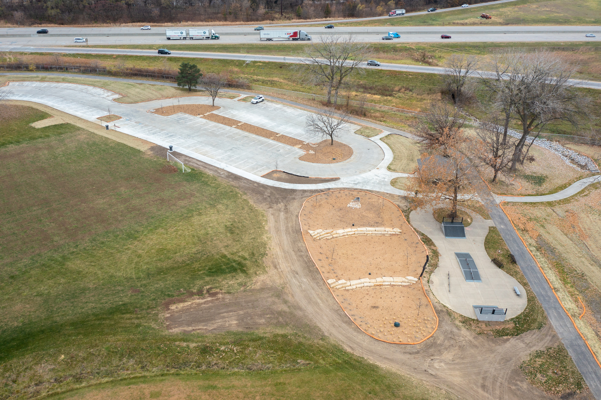
Our in-house FAA certified drone pilots capture aerial survey photos, quickly model surfaces, and efficiently develop site plans, all of which can be used for everything from facilitating community engagement to construction observation.

3D Scanning
We harness hyper-detailed 3D imagery and incorporate it into critical design software to create 3D as-built conditions documentation that helps designers pinpoint and quickly solve clashes—ultimately saving time and money.

Videography
Engaging videos combine visualizations, drone footage, copy writing, music, and photography to capture each unique project stage from conception to completion.
"We put a great amount of emphasis on not speaking "engineer or architect" to clients regarding our common jargon. We want to put ourselves in their shoes and support them in every way possible."

Have a project?

100% Employee Owned

.svg)


